Ground mapping
For the back road nobody has ever tracked.
We come out in daylight and drive the roads, recording turns, gates, intersections and destinations as we go. Then we clean up what we collected and add it to your map.

Send us what you have, and we’ll create your Overpex map. Add ground mapping or fresh drone imagery when needed.
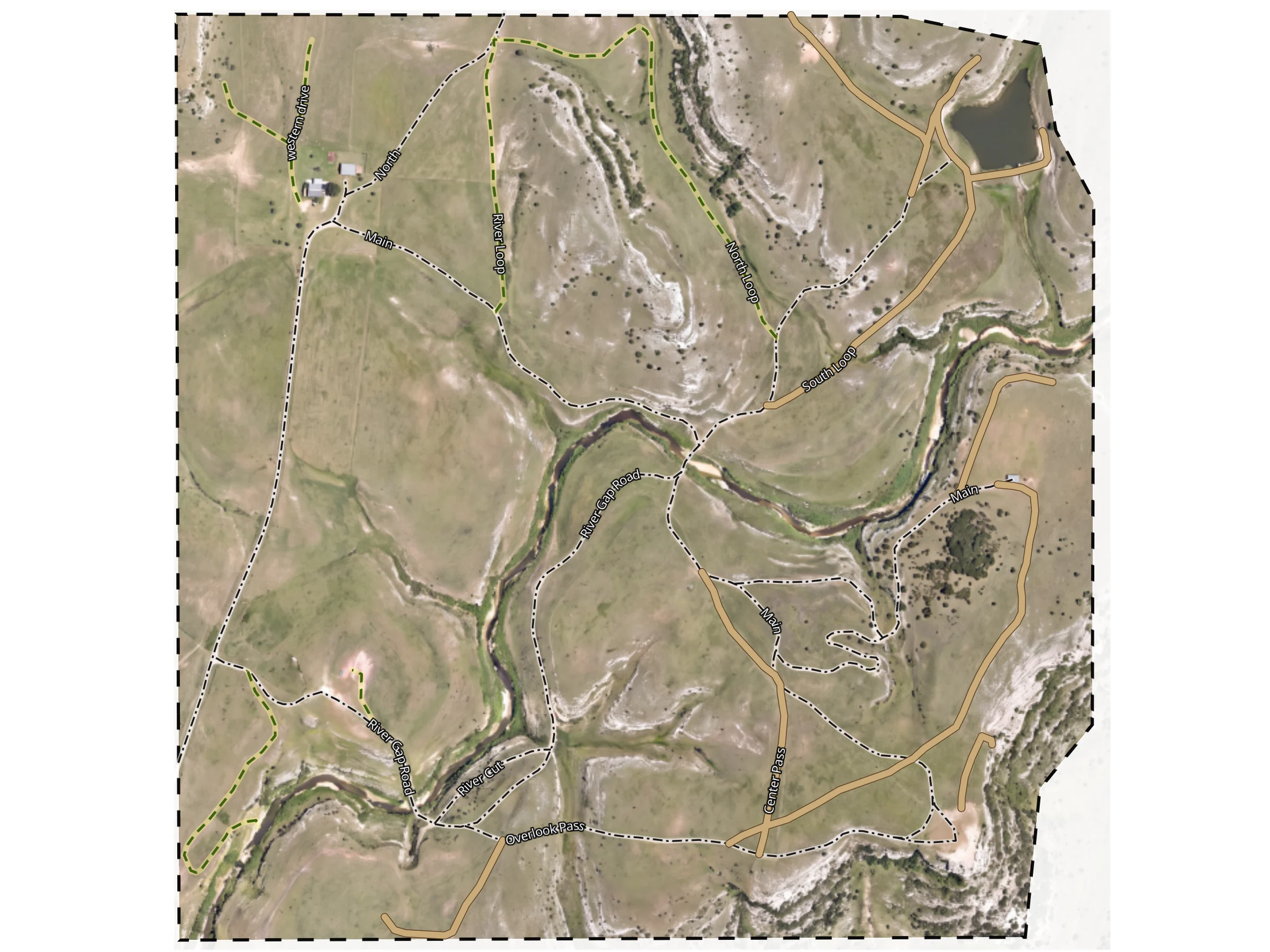
Through the cattle guard. Left at the dead oak. Cross at the low water.
If you hit the fence, you went too far.
You send what you have. We build the map in Overpex, the same editor you’d use yourself.


Most people have something. A few GPS tracks, a screenshot with lines on it, directions on the back of an envelope. It all counts.
Organized GPS tracks mean less guesswork for us, so the map costs less.
Two add-ons for when the map needs fresh information from the ground or the air. Pick either, both, or neither.
For the back road nobody has ever tracked.
We come out in daylight and drive the roads, recording turns, gates, intersections and destinations as we go. Then we clean up what we collected and add it to your map.
For when the aerial is older than the barn.
We fly the whole property and stitch the photos into imagery for your map, aiming for 5 cm per pixel or better, depending on the capture plan. It shows the ground as it is now. It doesn’t confirm which roads are open.
Pick both and it’s one trip. We drive out from Fort Worth, Texas, and the estimate includes the drive.
Change the answers and the estimate updates. One price for the whole job, with each part listed.
We’ll reply to to go over the details. The estimate on file is .
Have tracks, screenshots or notes? Reply to our email with them.
No. It’s an estimate from what you entered. We go over the details with you and confirm a price before anything is booked. Sending a request doesn’t charge you or commit you to anything.
No. We make a map for finding your roads, gates and places. It isn’t a licensed boundary survey, and lines on it aren’t legal property boundaries.
Yes. The price includes a year of the 12-Pack, so you can share every map you own with as many people as you need. After that year, sharing continues with your own 12-Pack or a Tallboy. Your maps stay yours either way. How the 12-Pack works.
We drive out from Fort Worth, Texas. Pick the closest address to your property and the estimate includes the drive, worked out at highway speed. Long drives and long days on site get a closer look before we quote, and some jobs need more than one trip.
The whole property from above, stitched into imagery for your map. We aim for 5 cm per pixel or better, depending on the capture plan for your property. Imagery shows the ground; it doesn’t confirm which roads are open or passable.
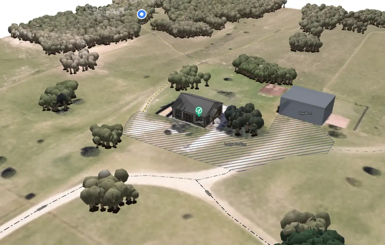
We’ll turn it into a map you can use, share and keep editing.